
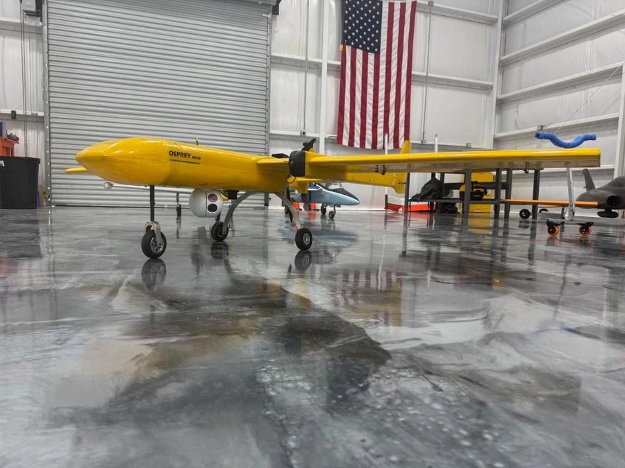
US-designed airframe by Unmanned Aerial Research, an NDAA-compliant Group-2 unmanned aircraft built for long-range intelligence, surveillance, and reconnaissance (ISR), search and rescue (SAR), border protection, and patrol operations. Equipped with ADS-B transponder (Mode-C), sense-and-avoid systems, and dual EO/IR optics payload for day and night operations.
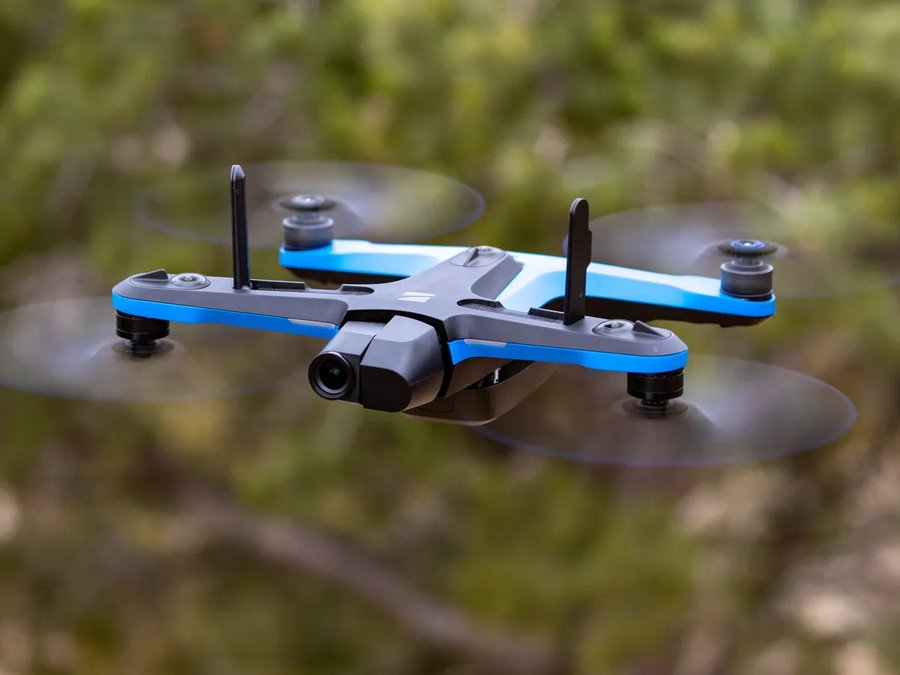
AI-powered autonomous quadrotor with 360° obstacle avoidance and GPS-denied navigation capability. The S2+ uses six 4K cameras to map and navigate complex environments in real time, making it well-suited for confined space inspection, structure monitoring, and operations where GPS reliability cannot be guaranteed.
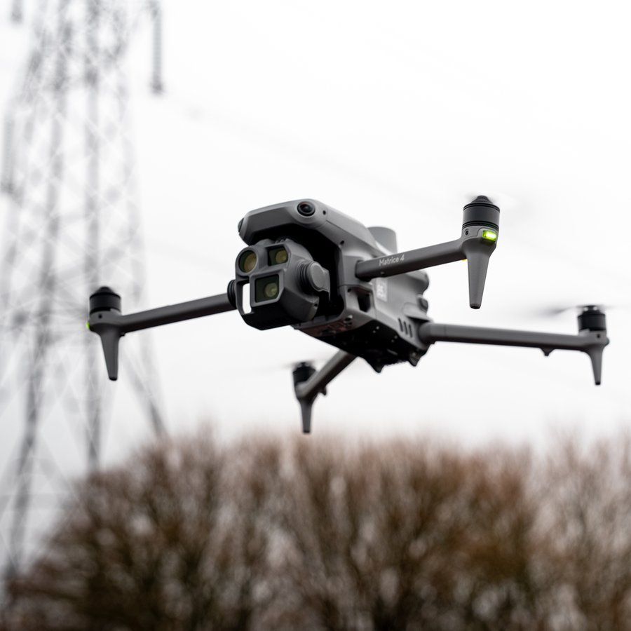
Multi-sensor enterprise mapping platform equipped with wide-angle camera, medium tele camera, and a laser range-finding sensor for precise distance measurement and elevation data collection. Purpose-built for professional survey, construction site monitoring, mining volumetric analysis, and precision agriculture applications.
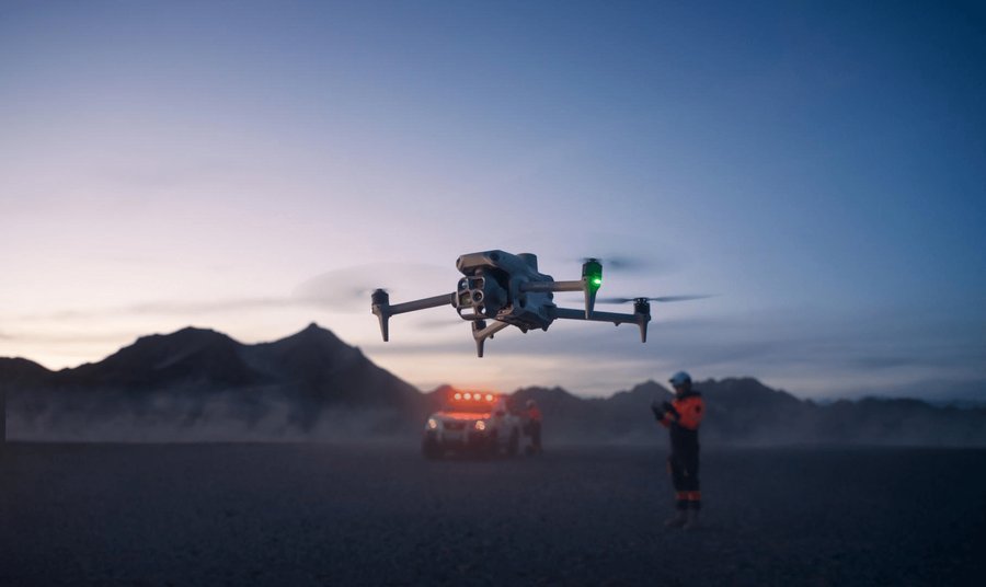
Thermal-equipped enterprise platform combining a wide-angle visual camera, a tele visual camera, and a high-sensitivity infrared camera in one integrated payload. Purpose-built for energy infrastructure inspection, emergency response, public safety, search and rescue, and forestry fire detection where thermal signature is the primary data source.
Available for commercial engagements across ISR, survey, inspection, and SAR missions. FAA Part 107 certified, active Class-II Medical Certificate.